Overview: Arctic air has moved into the area, with below freezing temperatures and dangerous wind chills. We continue to track the threat for winter weather across the area Tuesday and Tuesday night. The forecast continues to evolve, but best chances for accumulating snowfall are along and south of the U.S. Highway 80 and Interstate 85 corridors.
1. Cold Temperatures: Arctic air will remain across Central Alabama for the next few days. Dangerous wind chills are expected during the overnight and morning hours through Wednesday morning.
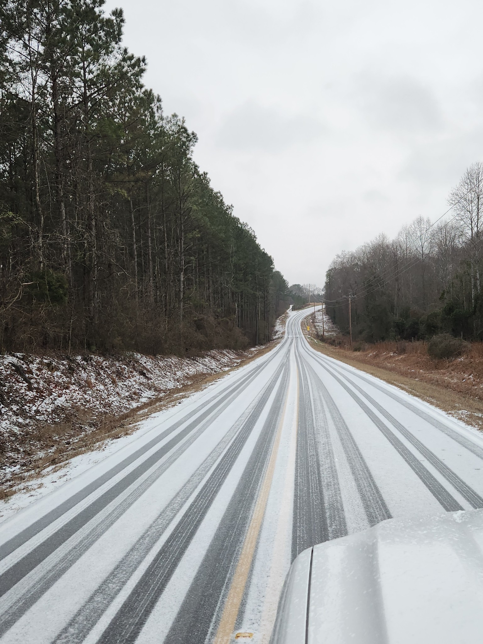
2. Winter Weather: Probabilities for accumulating snow have condensed to areas across southern Alabama, generally along and south of U.S. 80/I-85. Snow amounts up to 2″ are possible across the warning area, with amounts up to 0.5-1″ across the advisory area. Snow accumulations and very cold temperatures Tuesday night could result in travel impacts that could extend into the morning hours on Wednesday and potentially into late week for some areas.
Changes from previous forecast: The Winter Storm Warning areas have been adjusted, and a Winter Weather Advisory has been issued for areas north of the warning. The Impact Graphic was tweaked and timing was added.
Webinar: No webinar is planned at this time. Based on the start time of the expected winter weather Tuesday morning and the information previously briefed this morning, a Tuesday webinar is not scheduled at this time.